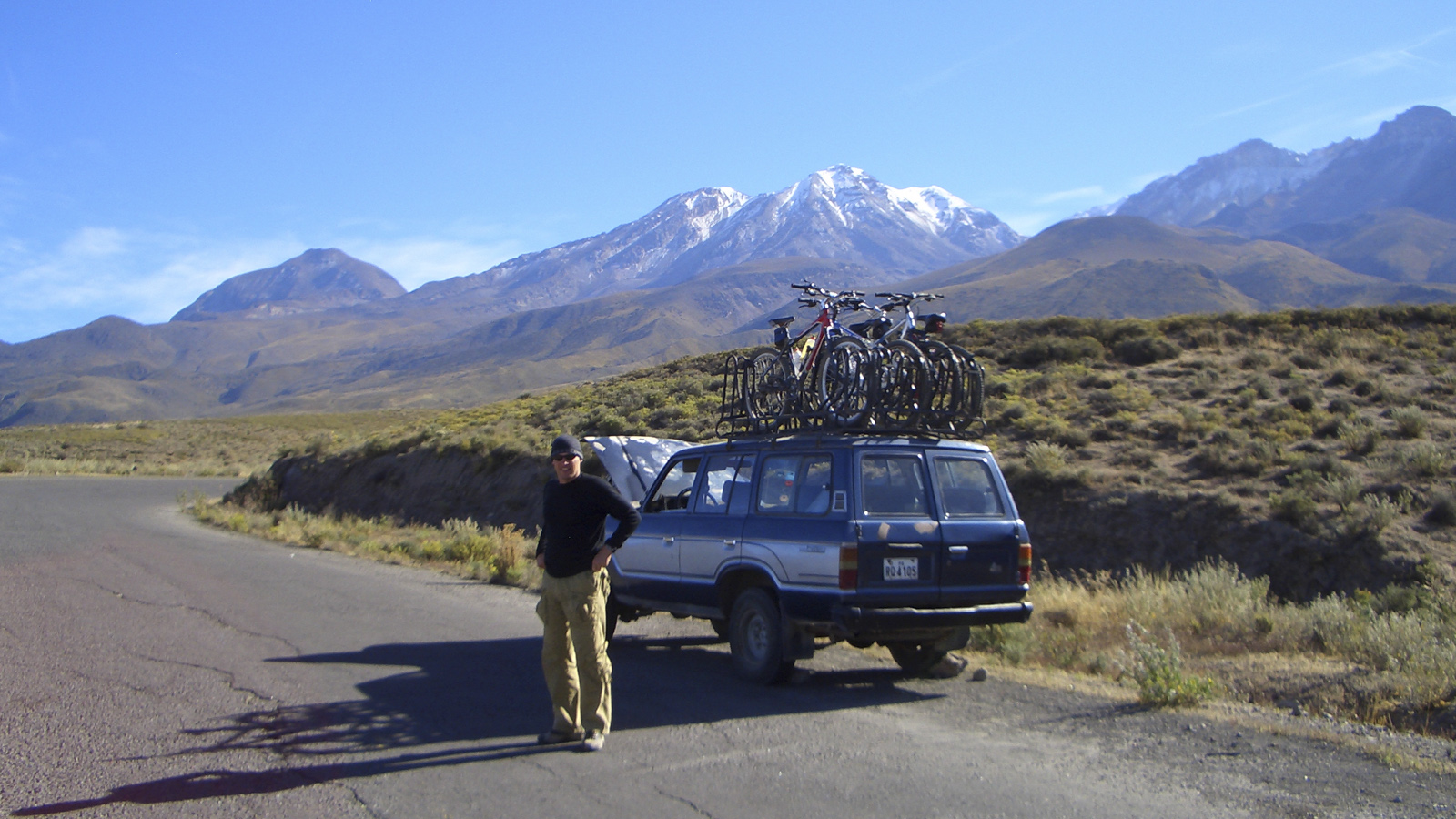
At 8:00 am we will pick you up from your hotel in Arequipa to board the tourist-class bus which will take us to the slopes of the Chachani volcano.
We will pass through Zona Cabrerías, an area between the Misti and Chachani volcanoes, stopping at some interesting sites along the way.
Our starting point will be Azufrero, which is located 5,000 meters above sea level.
The guide will give us the instructions, explaining the safety measures we should take in different situations, and describing the route that we are going to follow.
The route is best described in three segments:
The first segment is a 10 km road of sand and rocks, which zigzags sharply, where you have to be careful with the speed during this part of the race, due to the amount of road curves.
The second segment is a road of 16 kilometers of mostly solid ground, which includes a rise of 200 meters to the highest point and is known as Dead Horse.
The third and last segment is the longest; It is a descent of approximately 2,000m in height and ends along the paved roads. The speed during the final segment reaches about 45 kilometers per hour.
We can enjoy beautiful views of the mountains and volcanoes that surround us during the descent. As you pass through the mouths of the Salinas and Aguada Blanca National Reserve, you will have the opportunity to see some vicuñas.
We will descend 2,700 meters in 5 hours and 60 km, finishing our tour in the well known Carmen Alto viewpoint in Arequipa around 3:00 - 4:00 pm where our transport will be waiting to take us to each respective hotel In Arequipa.
| Starting point of route | |
| End of route | |
| Bus Route | |
| Train Route | |
| Flight Route | |
| Route on foot |
